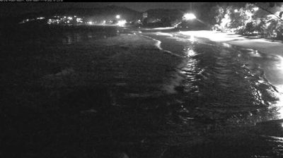
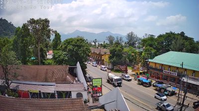
Muak Lek: ทางหลวงชนบท นม.1016 - Ta Nom Alley
![]() Muak Lek, Tayland
Muak Lek, Tayland
Real-Time Environment
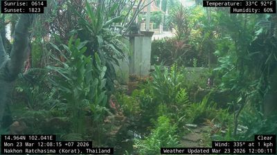
Welcome to the live streaming webcam for Muak Lek: ทางหลวงชนบท นม.1016 - Ta Nom Alley, perfectly situated in the vibrant region of Muak Lek, Tayland. Watching this live camera allows you to instantly experience the local atmosphere and monitor current climate conditions.

About Muak Lek district
Muak Lek is a district (amphoe) of Saraburi province, Thailand. It occupies the province's easternmost part, in the Dong Phaya Yen Mountains which divide the central and northeastern regions. Originally a formidable jungle, much of the forest cover was cleared in the 20th century, though several forested hills remain, with natural features serving as tourist destinations—parts of Khao Yai and Namtok Chet Sao Noi national parks are within the district area. Dairy farming is an important industry in the district, having been introduced to the country here in 1962.
📖 Read more on Wikipedia📍 Location Facts
-
Country
 Tayland
- Region Saraburi Province
- City Muak Lek
- Coordinates 14.6323°N, 101.2121°E
Have you been to Muak Lek?
Help the community! Share your experience, tell us about the weather, or upload your own photos from this exact location.